Information
2020-03-12
What is Remote sensing?
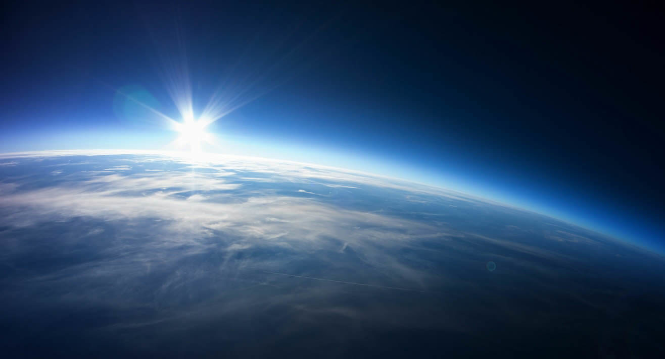
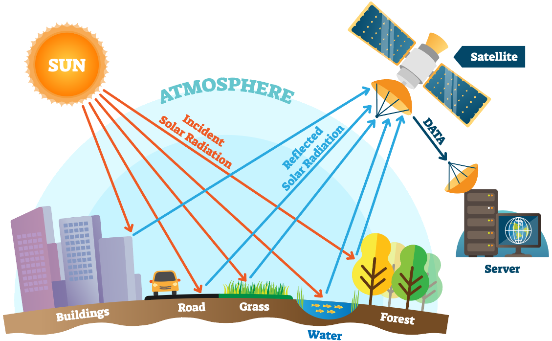
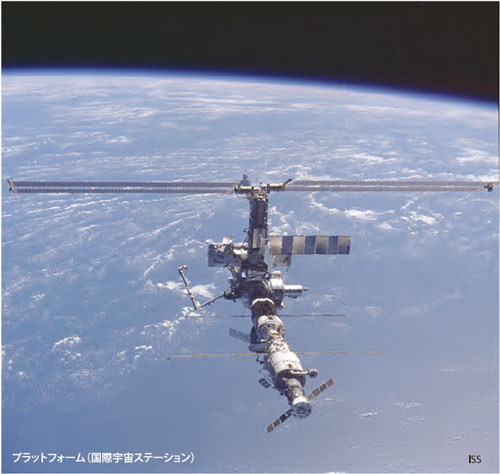
Remote sensing is a technology that observes objects from a remote location using electromagnetic waves, mainly from artificial satellites. This technique spread in the 1970s. Remote sensing is used not only for scientific purposes such as elucidating global and regional environments, but also for practical applications such as fishing, meteorology, agriculture, forestry, disaster prevention, resource exploration, and mapping. Recently, it has become possible for ordinary people to easily see remote sensing images from artificial satellites such as Google Earth.
The Remote Sensing Society of Japan was established in 1981 and became an incorporated association in 1992. The number of members is about 1200. For the purpose of academic development of remote sensing, we hold academic lectures twice a year, publish academic journals five times a year, and promote research through seven study groups. Internationally, we have academic exchange agreements with the Korea Remote Sensing Society and the Republic of China Society of Aerial Survey and Remote Sensing (Taiwan Photogrammetric Remote Sensing Society). All members of the Remote Sensing Society of Japan are continuing their academic activities in order to develop remote sensing in Japan.
The Remote Sensing Society of Japan was established in 1981 and became an incorporated association in 1992. The number of members is about 1200. For the purpose of academic development of remote sensing, we hold academic lectures twice a year, publish academic journals five times a year, and promote research through seven study groups. Internationally, we have academic exchange agreements with the Korea Remote Sensing Society and the Republic of China Society of Aerial Survey and Remote Sensing (Taiwan Photogrammetric Remote Sensing Society). All members of the Remote Sensing Society of Japan are continuing their academic activities in order to develop remote sensing in Japan.
About us
The Remote Sensing Society of Japan was established in 1981 for the purpose of liaising and collaborating on research related to remote sensing, and contributing to the development and spread of scholarship and technology. Since the inauguration of the society, we have published academic journals, held various research meetings and lectures, and strived to spread knowledge and promote friendship and communication among members.The activities of this society cover a wide range of fields such as environmental monitoring, meteorology, oceans, ecology, geography, surveying, geology, disaster prevention, resource exploration, agriculture and forestry, fisheries, civil engineering, construction, measurement, machinery, space development, and administration. Open-minded discussions transcending academic disciplines are underway.
In recent years, remote sensing has become an increasingly familiar technology and academic field, with advances in frequent meteorological observations by Himawari, some satellite data such as Landsat becoming free, and the spread of drones. We would like to strive for further development of remote sensing through various activities by our members.